Fichiér:Malacca location map.svg

Talye de cél apèrçu PNG du fichiér SVG : 800 × 506 pixèls. Ôtres rèsolucions : 320 × 202 pixèls | 640 × 405 pixèls | 1 024 × 648 pixèls | 1 280 × 810 pixèls | 2 560 × 1 620 pixèls | 980 × 620 pixèls.
Fichiér d’origina (Fichiér SVG, nominalament 980 × 620 pixèls, talye du fichiér : 596 Kio)
Dèscripcion
| Dèscripcion |
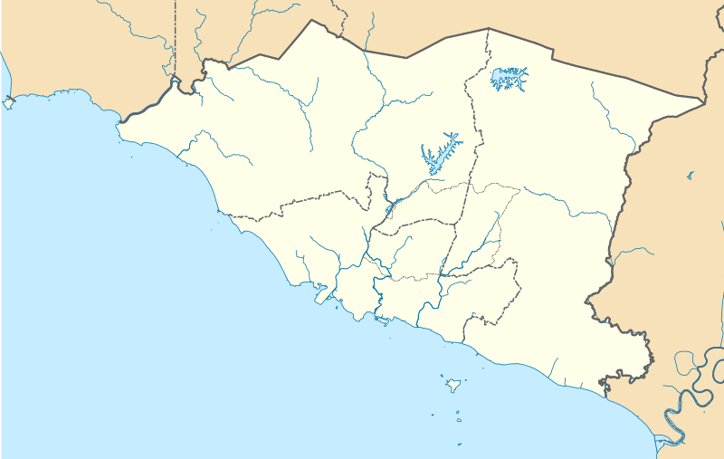
English: A map showing districts of Melaka (blank version) |
| Dâta | |
| Sôrsa | Ôvr’a sè |
| Ôtor | Zh9567 |
Licence
Mè, lo titulèro du drêt d’ôtor de ceta ôvra, la publeyo avouéc cen desot ceta licence :
Ce fichier est sous la licence Creative Commons Attribution – Partage dans les Mêmes Conditions 4.0 International.
- Vos éte libro :
- de partagiér – de copiyér, distribuar et tramandar l’ôvra
- d’adobar – de changiér l’ôvra
- Desot cetes condicions :
- atribucion – Vos dête balyér les enformacions que vant avouéc regardent l’ôtor, fornir un lim de vers la licence et pués endicar se des changements sont étâs fêts. Vos pouede cen fâre per tot moyen rêsonâblo, mas en pouent de façon que balye l’idê que l’ôtor vos sotint ou ben aprôve l’usâjo que vos en fêts.
- partâjo du-mémo – Se vos changiéd, transformâd, ou ben vos apoyéd dessus cel’ôvra, vos dête distribuar voutra contribucion desot la méma licence ou ben na licence compatibla avouéc cela de l’originâl.
Historico du fichiér
Cllicar dessus na dâta et hora por vêre lo fichiér coment il ére que.
| Dâta et hora | Miniatura | Dimensions | Utilisator | Comentèro | |
|---|---|---|---|---|---|
| d’ora | 13 avril 2021 a 08:42 | | 980 × 620 (596 Kio) | Zh9567 | minor |
| 12 avril 2021 a 06:59 |  | 980 × 620 (597 Kio) | Zh9567 | Uploaded own work with UploadWizard |
Usâjo du fichiér
Gins de pâge emplèye cél fichiér.
Usâjo gllobâl du fichiér
Cetos ôtros vouiquis emplèyont cél fichiér :
- Usâjo dessus en.wikipedia.org
- Malacca City
- Masjid Tanah
- Tanjung Tuan
- Ayer Keroh
- Merlimau
- Besar Island, Malacca
- Malacca Island
- Durian Tunggal
- Batu Berendam
- Tanjung Kling
- Bukit Katil
- Sungai Rambai
- Tanjung Bidara
- Wikipedia:WikiProject Malaysia/Cartography
- Portuguese Settlement, Malacca
- Simpang Ampat (Malacca)
- Hang Tuah Jaya
- Jasin (town)
- Linggi River
- Malacca
- Pengkalan Balak Beach
- Durian Tunggal Reservoir
- Sungai Udang Recreational Forest
- Alor Gajah Square
- Jus Reservoir
- Ayer Keroh Lake
- Ayer Keroh Square
- 1Malaysia Square
- Jasin Square
- Puteri Beach
- Bukit Batu Lebah Recreational Forest
- Klebang Beach
- Kuala Linggi Mangrove Recreational Forest
- Alor Gajah
- Konet Island
- Module:Location map/data/Malaysia Malacca
- Module:Location map/data/Malaysia Malacca/doc
- Undan Island
- Bukit Baru
- Upeh Island
- Usâjo dessus fr.wikipedia.org
- Usâjo dessus id.wikipedia.org
- Usâjo dessus ms.wikipedia.org
- Usâjo dessus os.wikipedia.org
Vêre l’usâjo gllobâl de cél fichiér.